Hell Let Loose: Vietnam Maps
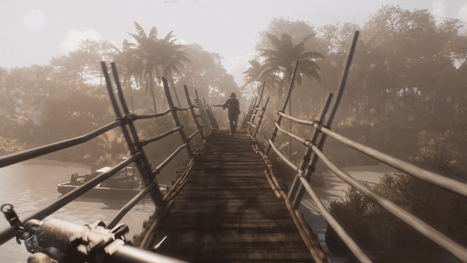
Maps Overview
Hell Let Loose: Vietnam launched with six large-scale maps, and this Hell Let Loose Vietnam maps guide covers all of them in detail — the complete Hell Let Loose Vietnam maps reference for the launch build. Each battlefield is inspired by a real location and battle from the Vietnam War. Every map recreates its real-world terrain — from the heavily fortified Dragon's Jaw bridge to the monsoon-flooded plains of Quảng Ngãi — and each demands a different approach from your squad.
The Hell Let Loose Vietnam maps pair with the game's four main modes: Warfare and Offensive use a set frontline, while Conquest and Domination scatter capture points across the map. Vehicles, tunnels and helicopters change the calculus on every battlefield — the PBR boats and NVA tunnels make the river maps play very differently from the airfield.
Map Tactics at a Glance
One-line tactical brief for each of the six launch maps — enough to know what to expect before you spawn, with the full breakdown below.
| Map | Core Tactical Brief |
|---|---|
| Thanh Hóa Bridge | Control the river crossings and use the river foliage for ambushes — treat the bridge itself as a killzone you cross only under fire support. Boats create a second attack axis. |
| Huế Outskirts | The waterways are the fastest route around the map — move infantry along the treeline, keep armour on the open terraces, use the high ground to overwatch the industrial zones. |
| Vạn Tường | A helicopter map — US inserts by transport helicopter, NVA stays ahead with tunnels. Keep tanks off the village streets; riverbanks and open ground are their territory. |
| Quảng Ngãi | The open lowlands are killzones — cross open terrain with smoke and clear the cliff caves before committing to the low ground. |
| Đắk Tô Airfield | Armour rules — the airstrip gives tanks long firing lanes. Use the perimeter for defence and the surrounding highlands for flanking. |
| Cam Ranh Port | The southern waterway is PBR country — on land, bring close-quarters loadouts: shotguns and SMGs outperform rifles inside the docks and warehouses. |
Thanh Hóa Bridge — "The Dragon's Jaw"
History: The Thanh Hóa Bridge, also known as the Dragon's Jaw, was one of the most heavily fortified and defended locations in the world during the Vietnam War. It was a prime target of Operation Rolling Thunder — the US bombing campaign against North Vietnam from 1965 to 1968 — yet repeated US aerial strikes failed to destroy it. Shielded by two mountainous peaks and defended by NVA forces, the bridge crossed the Nam Ma River and stayed standing through the entire campaign.
Terrain & Tactics: The map is built around the bridge crossing over the Nam Ma River. Expect fierce close-quarters fighting around the villages and trainyards on both banks, with the jungle and mountainous terrain providing the high ground that decides the battle. River combat is a constant factor — control the important crossings, use the river foliage for ambushes, and treat the bridge itself as a killzone you cross only under fire support.
Huế Outskirts
History: The Tet Offensive of January 1968 saw the NVA launch a series of coordinated surprise attacks across South Vietnam. Huế, the old imperial capital, became the site of one of the longest and bloodiest battles of the war. The Huế Outskirts map focuses on the terrain surrounding the city — the mountains, terraced farms and dense jungle the US forces fought through as they approached the city to recapture it.
Terrain & Tactics: A mix of vertical combat and claustrophobic close-quarters fighting. The environment alternates between jungle-covered slopes, terraced farmland, heavily defended US bases and large concrete industrial areas, all connected by accessible waterways. Expect long sightlines from the high ground and brutal room-clearing in the built-up areas.
Vạn Tường
History: Operation Starlite in August 1965 — also known as the Battle of Vạn Tường — was the first major US offensive of the Vietnam War. It began with a US amphibious beach landing and three simultaneous helicopter landings, all aimed at countering a potential assault on the nearby Chu Lai military base.
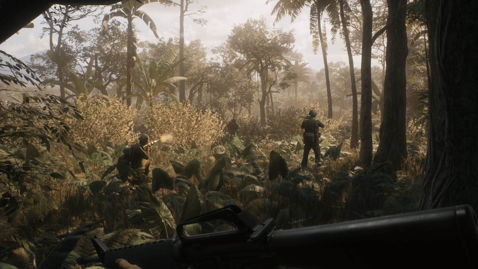
Terrain & Tactics: Vạn Tường blends semi-urban combat through small villages with intense moment-to-moment action inside the jungle. The sprawling river network is the map's defining feature — it gives ample room to maneuver boats around the map, while infantry can ambush through the dense river foliage. The beach landing heritage means the coastline and its approaches matter as much as the villages.
Quảng Ngãi
History: Operation Piranha in September 1965 was the immediate follow-up to Operation Starlite. Starting with a pre-dawn beach landing, US forces used helicopters to envelop the retreating enemy, cutting them off on the southern Batangan Peninsula in Quảng Ngãi Province.
Terrain & Tactics: Quảng Ngãi is the map that throws everything at you: monsoon flooding, rocky cliffs and caves, tropical bamboo forests and open lowlands. Fighting shifts between tight jungle confines, cross-river expanses and the vertical heights of the cliffs. It's the most varied terrain in the launch lineup and rewards squads that can adapt mid-fight.
Đắk Tô Airfield
History: November 1967 saw the start of the Battle of Đắk Tô, an attack on a key US airfield base and its surrounding hilltop fortifications in the central highlands of South Vietnam. The battle became one of the largest and most intense engagements of the war.
Terrain & Tactics: The focal point of the map is the base's long, stretching airstrip, which allows nearby armour and recon units to dominate the area. Impact craters and destroyed vehicles are strewn along the runway — the legacy of constant artillery bombardment. Because the operating airfield keeps the surroundings less dense than typical jungle, this map demands effective teamwork and communication to navigate the open space safely.
Cam Ranh Port
History: By 1969, the Cam Ranh Bay Logistics Facility was a well-established Air Force base, Naval base and large munitions and POL (petroleum, oil, lubricants) storage site. Built on a secure peninsula in Khánh Hòa Province, its deep-water bay allowed large vessels to moor along the substantial DeLong Piers. The facility survived multiple attacks, including a sapper attack in August 1969 that damaged many buildings.
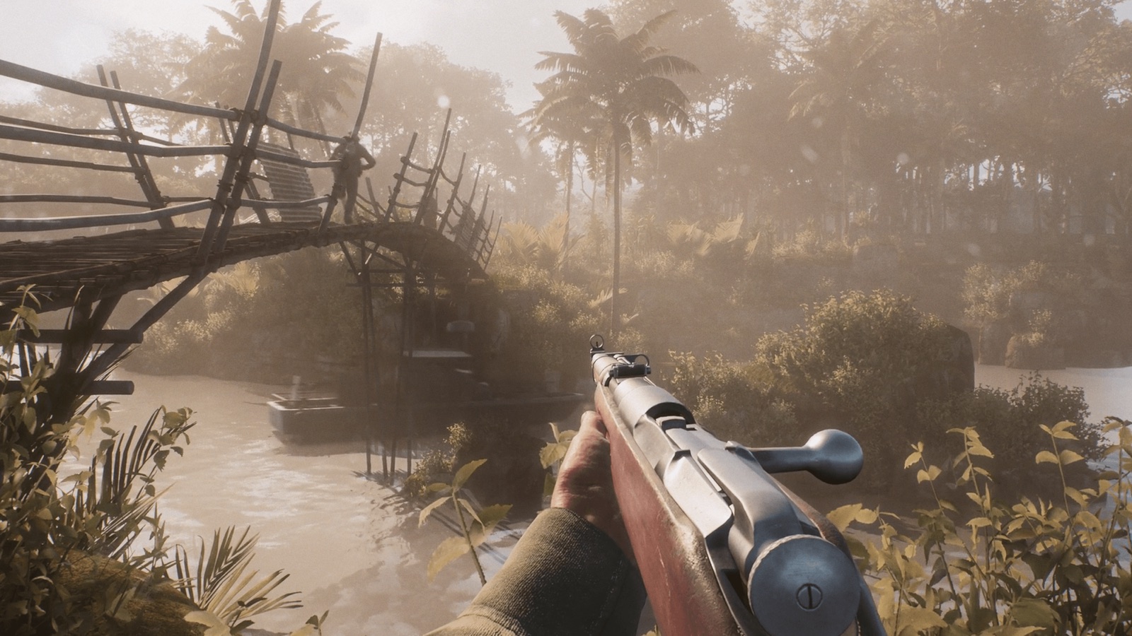
Terrain & Tactics: Be prepared to fight around dense militarised areas, dry creek beds and rolling dunes. The large waterway to the south allows for wide-open boat skirmishes, while the industrial docks provide intense close-quarters combat. The mix of open water and tight industrial interiors makes it one of the most balanced maps for combined-arms play.
Coming in 2026: Khe Sanh & Rung Sat
The official 2026 roadmap, published August 21, 2026, confirms the first two post-launch battlefields. Both are still in development — here's what the developers have revealed so far, with more looks promised in the lead-up to each update.
Khe Sanh (Update 2.0) is the first new map to join the rotation. The developers describe it as a very different and dramatic look and feel compared to the current six, bringing new environments and tactical challenges for both sides. Historically, Khe Sanh was the remote US combat base in the western highlands that came under siege during the 1968 Tet Offensive — a hilltop outpost ringed by jungle, supplied almost entirely by air.
Rung Sat (Update 3.0) takes the fight to the swamps and jungles of the Rung Sat Special Zone, the mangrove maze south of Saigon that guarded the shipping channel into the capital. The roadmap confirms Rung Sat arrives with Update 3.0 alongside armoured personnel carriers for both sides — a new way to move troops across the battlefield that will change how both factions approach the swamps.
Which Map Should You Play First?
For new players exploring the Hell Let Loose: Vietnam maps, Đắk Tô Airfield is the most forgiving introduction — the open terrain makes it easier to read the battlefield and learn the flow of the game. Vạn Tường is the best map for learning the Vietnam-specific mechanics (helicopters, boats, tunnels), while Huế Outskirts is where veterans will find the most complex combined-arms fighting. Quảng Ngãi and Thanh Hóa Bridge are the hardest to master, with the most punishing terrain and the highest skill ceiling.
> Related Guides
📬 Have feedback or corrections? Contact us — Sources: Steam, Official Site